By DAVE GJESTSON
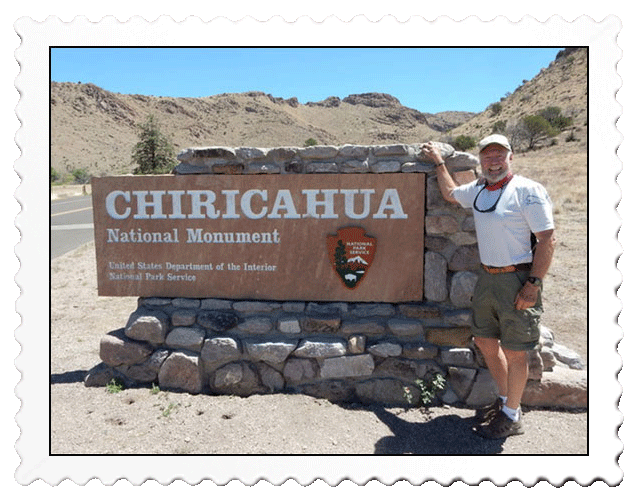
Our son Scott and I journeyed 2 1/2 hours east for three days of camping at this very historic national monument to learn more about the Apaches who lived in the region as well as to hike in an area created by tremendous volcanic activity 27 million years ago. This 12,000-acre federally protected area is 84% wilderness by designation and is located in southeastern Arizona close to the border with New Mexico.
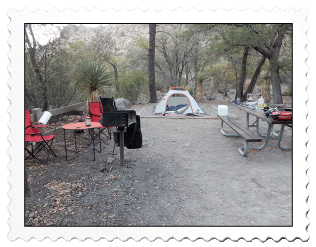
A convenient tent pad of pea gravel made for cushy base for sleeping!
The Bonita Canyon Campground provides 26 camping sites and I was surprised when making my reservations two weeks in advance that it was booked full through June and most of July except for one site the end of May! I was lucky to get it! All the sites were wooded and shaded against the 80-degree temperatures that prevailed along with periodic breezes 6-12 mph!
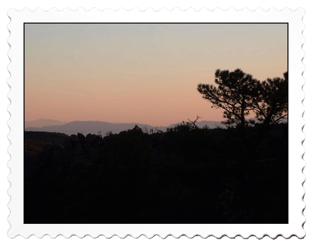
A back drop of 27-million year old volcanic rock was in our camp view shed
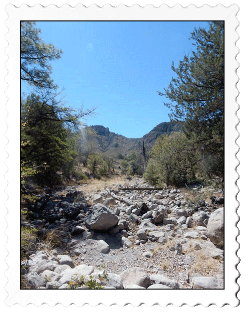
Camping at 5,400 feet, we would head west the second day to hike at 6,700 feet
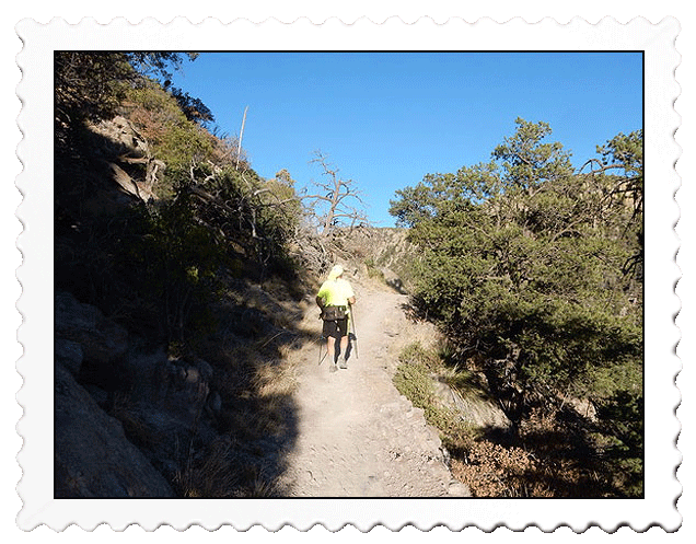
My second day’s hike was an easy saunter over rugged terrain
The first morning I was up at 7 a.m., got a good breakfast in me, and did some Yoga exercises prior to embarking on my first hike. Scott, who has multiple sclerosis (MS), would sleep until noon dictated by the fatigue common to this disease. My hiking objectives were a short 1/2-mile to the visitor center and get a map and then a two miler to see some 1934 CCC work, Apache history, and a 1890 cabin on the east side.
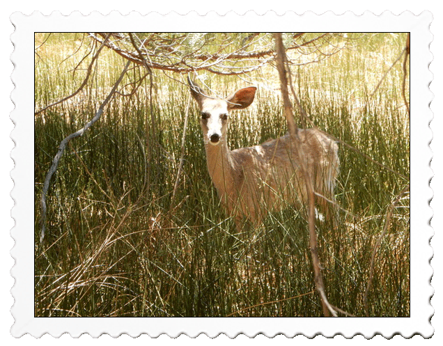
White-tailed deer and black-tailed deer were abundant and quite used to hikers
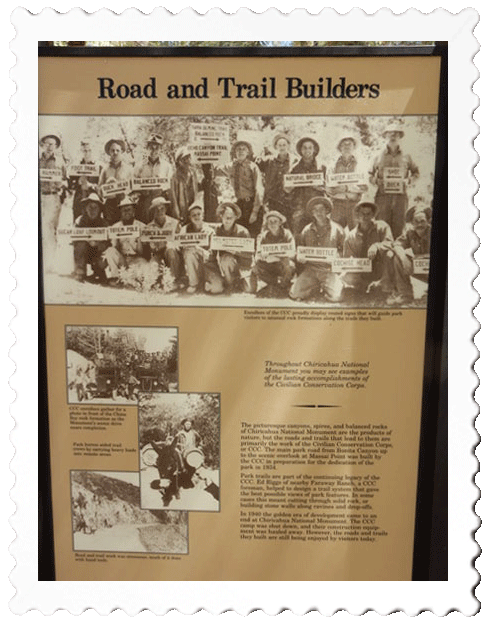
The CCC crews active from 1934 to 1940 constructed the trails still in place today
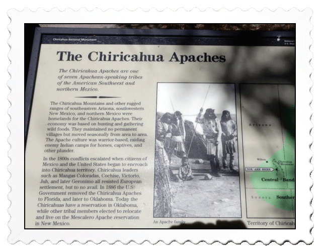
The Apache history envelopes the area and three bands were active in the region
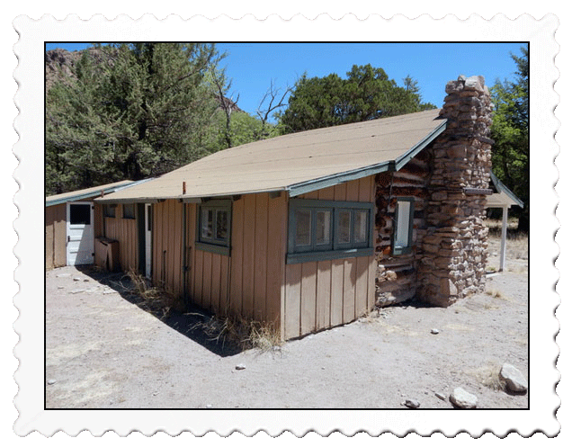
The core cabin structure was built in 1890 but was modernized for tourist use in the early 1900s
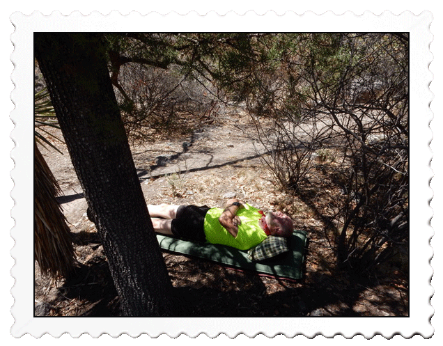
An afternoon nap was in order in the shade of an Arizona cypress tree
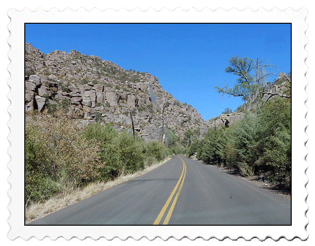
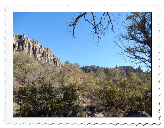
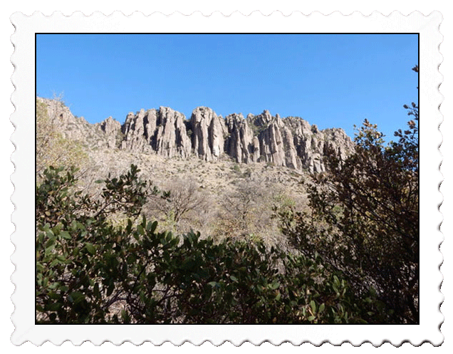
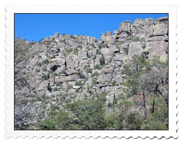
Driving east gave us our first up close look at the volcanic rock so unique to this area
Every place we looked was a photo opportunity
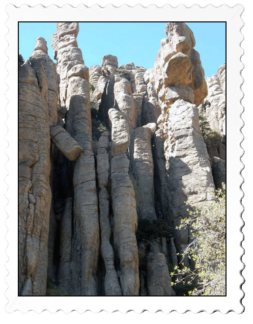
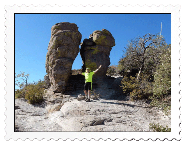
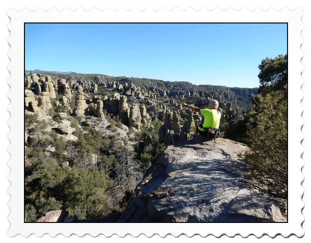
The “standing up rocks” the Apache saw are the same rocks we saw today
The park signage was excellent and all appeared to be resilient to weathering and vandalism
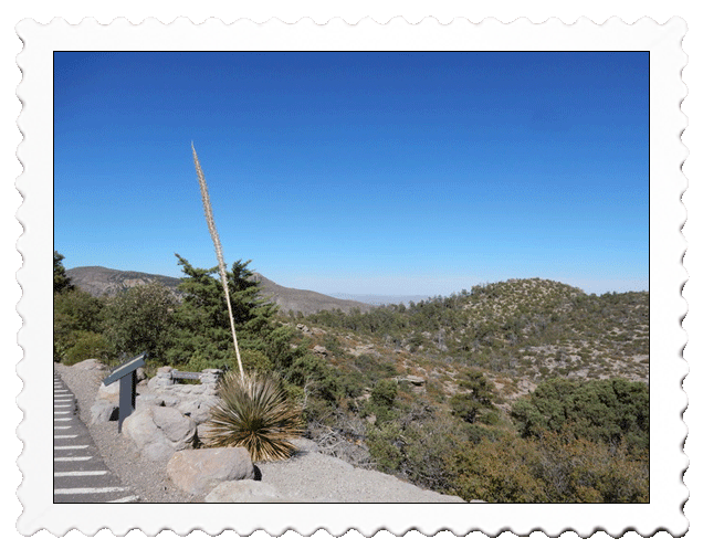
The view from 6,870 feet up displayed the mix of Yucca, alligator juniper, and various oaks common to the area
Arriving at the Massai Point overlook, we took a 1/2-mile indoctrination hike around the overlook that was at 6,870 feet in elevation to get a feel for the canyon we were about to hike. The view shed was stunning and we saw the volcanic deposits (called rhyolite) presented pinnacles in various shapes that the Apache called “standing up rocks.”
The canyon behind us was part of our hiking objective
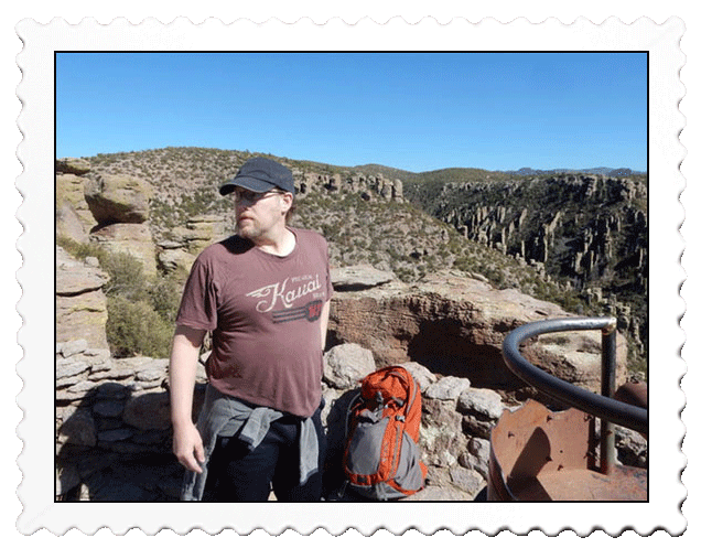
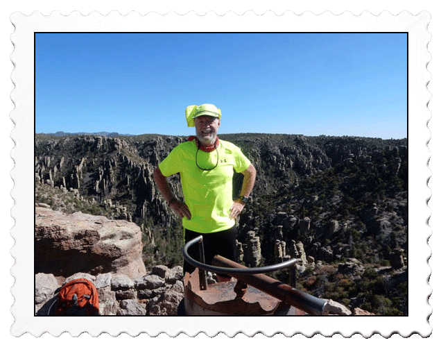
Scott was eager to hit the trail but a bit nervous since he was “a bit” out of shape
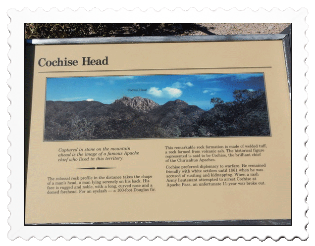
Look carefully to see Cochise (close up follows)
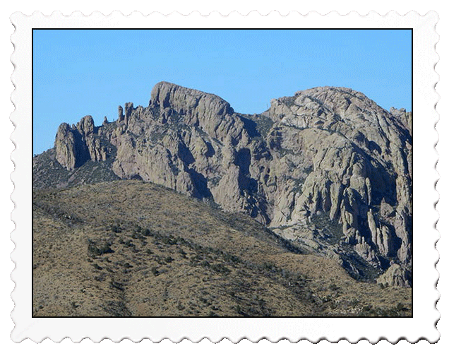
Ah ha! Now you see him don’t you?
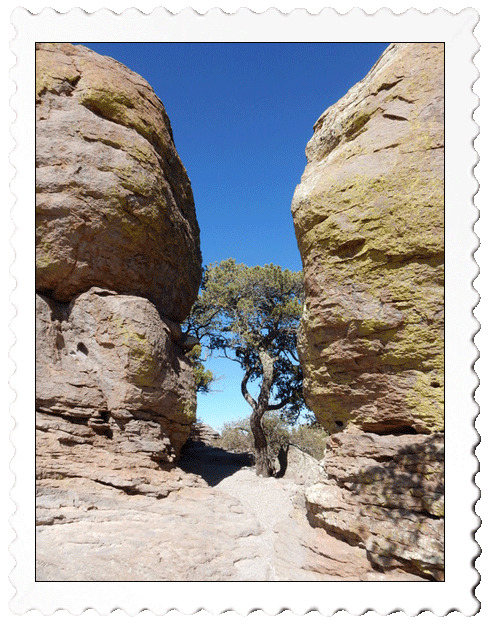
Off to the Echo Canyon trailhead, looking left I marveled how that tree could be alive!
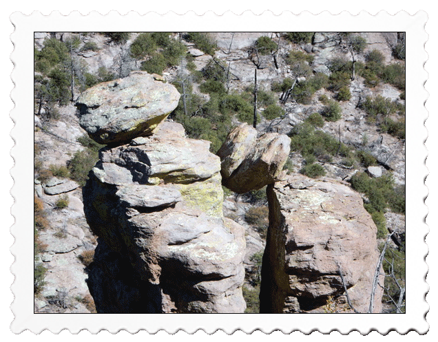
M-m-m-m-m. Some balanced rocks weren’t balanced!
Our pace was slow because every place we looked was a photo opportunity
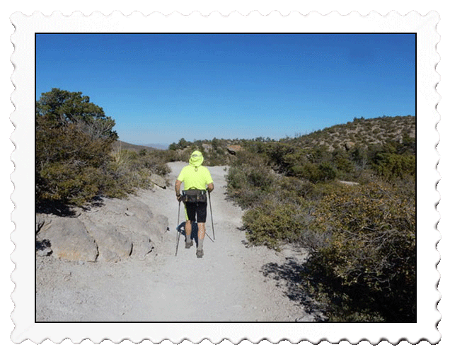
The trail was solid but portions were quite rocky and my poles saved me a few times!
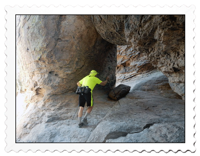
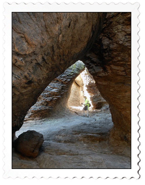
A mile into the hike, we came to a trail highlight…the Grottoes.
A mile into our hike, we were enamored by a trail highlight called, “The Grottoes.” It consisted of a series of caves above the trail carved out by an ancient river and a few million years of erosion. The slick rock was treacherous to climb and Scott and I were well aware that an injury here could be catastrophic because there was nobody on the trail, no cell reception, and the closest help was the young college girl manning the visitor center five miles west!
The slick rock slope was steeper than it looks!
Scott scrambled higher than I did and shouted out his findings to me.
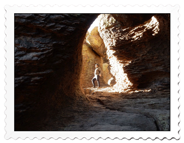
Looking like a conquerer, Scott’s pose was highlighted by the sun’s rays!
Our descent was to the right to go around the cliff in front of us coming up on the other side
When we finished admiring the Grotto, we had a decision to make. It was just past 5 p.m. and the brochure indicated that it would take us about two hours to proceed south and easterly on three different trails to complete a loop back to the car. Since sunset was about 7 p.m., the safer option would be to return the way we came and be at the car about 5:45 p.m.
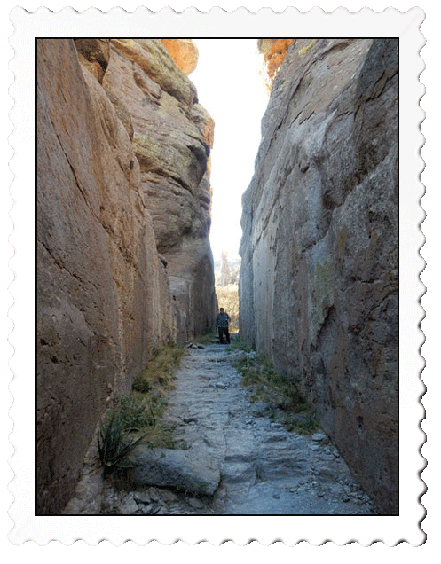
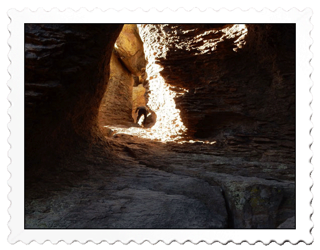
A slot canyon took us though about a 100-yard long corridor
Scott, being 30 years younger than his dad, deferred to my judgement. Since I was feeling fine, off we went south even though we were both uneasy about possibly finishing the hike in the dark with no flashlight! Did I mention that we are both Norwegian? The rock strewn trail slowed our steps and we remained vigilant to avoid injury.
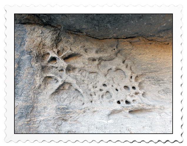
Water action here produced a very bizarre picture!
Our final ascent had both of us gasping a bit with legs given out!
Making the turn easterly, we joined the Hailstone Trail to take on another mile long leg of our journey. We felt relieved that the sun was still bright but perched low above the canyon wall. It would be after 6 p.m. before we hit the final leg of our trek, the .8-mile Ed Riggs Trail that would take us to the trailhead and our car.